 Fraunhofer Institute for Physical Measurement Techniques IPM
International Experts for mobile mapping met in Freiburg
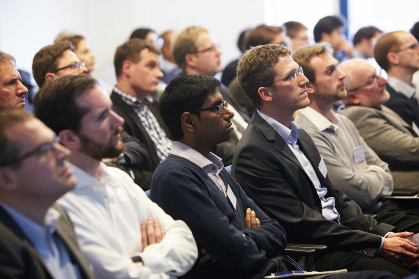
Mobile laser scanners are increasingly used for the 3D mapping of objects. A workshop organized by Fraunhofer IPM for the first time gave an overview about the latest state of the technology in the field of mobile laser scanning. More than one hundred experts from 14 countries met from November 26 – 27 to discuss technological trends and present research results as well as novel products.
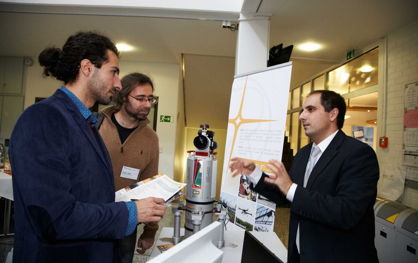
Laser scanners generate a 3D picture of their surroundings by detecting distances to object surfaces. Mounted on mobile platforms such as measurement cars, trains, boats or even unmanned aerial vehicles (UAV), laser scanners operate partly autonomously and chart their surroundings quickly and precisely. Mobile laser scanners have become well-established for collecting geo data.
Today, applications go way beyond mere geodetic measurements: Service providers rely on mobile laser scanners for measuring road surfaces, railway lines, bridges, buildings or even agricultural areas and documenting possible changes. The 3D data acquired serves as a valuable basis for infrastructure maintenance. Mobile robots and autonomous vehicles sense their surroundings with the help of laser scanners and even in production control such scanners are employed.
Presenters from various European universities, research institutions and companies presented technological trends in the field of mobile laser scanning, topics ranging from sensors, calibration and applications to data processing. The latter plays an increasing role as ever faster scanners produce growing amounts of data. The focus in research will in future shift from speed and precision to topics such as sensor size and fusion with other components, such as orientation and positioning systems. Moreover, laser scanners play an increasingly important role for special applications in mobile precision measurements, solving measurement tasks which were until only a few years ago solved by photogrammetric and tacheometric measurements.
Next to scientific questions, very tangible approaches such as a backpack laser scanner for challenging terrain conditions were presented. Key-note speaker Prof Wolfram Burgard from the University of Freiburg presented various technologies for 3D mapping with mobile robots.
MoLaS will be held every two years. The next workshop is scheduled for November 2016.